We were entering what I consider with hindsight to be the most photogenic crescent of the Annapurna Circuit. What struck me was not only the sheer diversity of the subject matter but the density of it too - strange and fantastical geological formations, wooded valleys of blue pine and juniper, serene meadows, artisanal wooden bridges spanning rushing rivers. All this scenic generosity juxtaposed against cobalt blue skies and boiling phalanxes of cloud made the memory of our third day one I will treasure for a long time to come.


Trekking near the Swargadwari Danda - the photos hardly do this place justice
At the epicenter of this marvelous region was the village of Dhikur Phokhari, immediately recognizable for the gigantic sweep of the Swargadwari Danda – a severe rock face which towers over the town. It resembled a gargantuan tidal wave which aeons ago was on the verge of pulverizing the valley before the creator uttered the words “this far and no further”. The 1500 high metre wall was visible for the majority of the walk from Koto to lower Pisang though some of the best views could be seen from the road that meandered through the forest beyond the town.
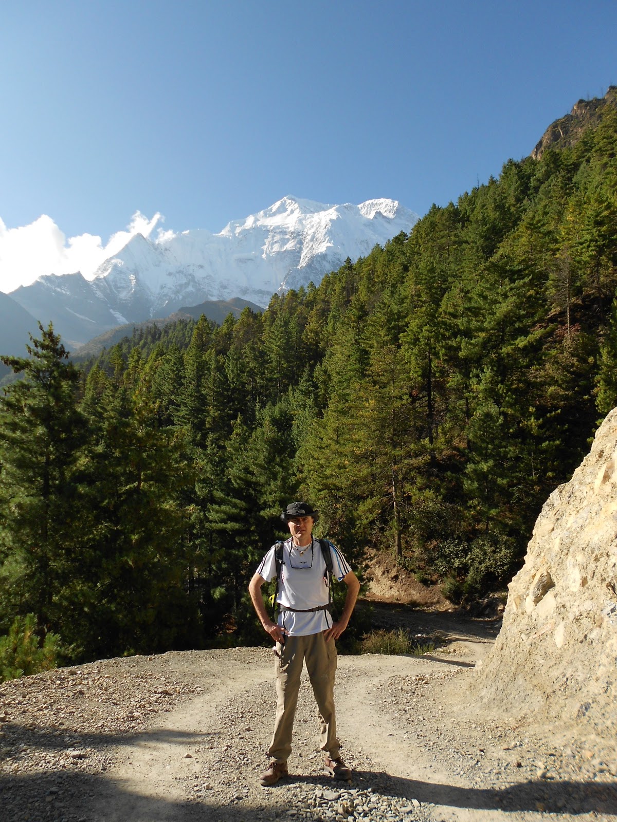
The day would have been perfect except for the fact that I had a pounding headache by the time we reached Pisang, 3200 metres above sea level. I made a mental note to escalate my water intake and to commence my course of Diamox that very night. After checking into the guesthouse, I followed the trail out of town to get a better view of the sunset. I stood for a while and examined a primitive yet fully functioning aqueduct fashioned from hollowed out pine logs. It was brimming with fresh water diverted from the river higher up the trail and though ancient was undeniably elegant in its simplicity. I crossed the river and scrambled up the hill. On the crest stood a memorial to an ill-fated Japanese expedition that had perished some years ago on the slopes of Annapurna IV. High above the forest, the peak in question luxuriated in a glorious burst of alpenglow – almost too beautiful to be dangerous.


Dusk outside Pisang
That evening in the dining hall, it was obvious that I wasn’t the only one concerned about the effects of altitude. Indeed, the higher we got the more fixated about it we became. We were unanimous that the trail had been harder than anticipated and keenly aware that our progress had been painfully slow. Stretches which should have taken 6 hours or less to complete were taking 8 hours or more. But it wasn’t until Raj said that we would need more days to successfully negotiate the Thorung La that things really got really heated. Some lamented the obvious implications: the trip to Annapurna Base Camp would either be an unpleasant rush or even impossible. After much debate on how to reset our itinerary, we agreed not to re-visit the issue until our rest day in Manang. Of one thing we were all agreed however: no one wanted to retrace the trail to Sangye. There would be only one way and that was up.
The following day, the walk through to Manang was one of the most relaxing we had had to date though conditions were very dusty and the glare off the road’s clay surface intense. Much as I enjoyed the day, I was irritated to discover when it was too late that there were two routes to Manang and that our guide, assuming we weren’t fit enough for the higher more scenic one, had remained silent on the issue and defaulted us to the tamer route. It was a Swedish Doctor we met near Humde who let the cat out of the bag, expressing amazement at our choice. Though she didn’t elaborate, we knew we’d drawn the short straw. Still, had it not been for this, we would not have been in a position to sample the baked delights of the Humde and Manang valleys where the locals have developed quite an expertise in the fine art of patisserie. At Humde airstrip we purchased cinnamon buns from an old lady by the roadside and at Braga sampled freshly baked carrot cake. These items were surprisingly good and a welcome break from the artificially sweetened biscuits that up to now had accompanied our tea breaks.


We arrived in Manang shortly after lunch. At 3500 metres, the town is a good place to spend a rest day and most trekkers spend two nights there. Because of this, Manang is a good deal more cosmopolitan than other places we’d stayed. The cobbled streets are lined with souvenir shops, outdoor stores, book exchanges and a few very good coffee shops and bakeries selling such brands as illy and Lavazza. The town even has its own movie house that constantly loops the same 6 films. They are:

The Humde Valley - the airstrip is temporarily out of action as they are tarring it - (probably bad news because it will mean more flights and thus more tourists)

Making friends in the Humde Valley


We arrived in Manang shortly after lunch. At 3500 metres, the town is a good place to spend a rest day and most trekkers spend two nights there. Because of this, Manang is a good deal more cosmopolitan than other places we’d stayed. The cobbled streets are lined with souvenir shops, outdoor stores, book exchanges and a few very good coffee shops and bakeries selling such brands as illy and Lavazza. The town even has its own movie house that constantly loops the same 6 films. They are:
• “Into the Wild” and “Into Thin Air” (inspired by the John Krakauer books)
• The Nepalese art nouveau classic “Himalaya”,
• The gripping mountaineering docudrama “Touching the Void”,
• “Slum Dog Millinear” (sic) and
• “The Hangover” (of all films!).

The movie house has its own fireplace, seats covered in Yak hide and guests are served fresh popcorn and hot tea. It’s all a very nice touch indeed. Manang is also the headquarters of the Himalayan Rescue Institute, housed in a ramshackle cottage at the entrance to the village. Here, trekkers can attend free daily talks on mountain sickness and have their oxygen levels tested for $10 a pop. We attended one such talk and found it both highly informative and entertaining – if not a little unnerving.
After a good night’s sleep and the prospect of a full day’s rest, everyone was feeling a lot better. I went shopping and bought trekking poles having neglected to get some in Khatmandu. Eager to try them out, I convinced Raj and the others to join me on an acclimatizing walk up to Chongkor Point (3800 metres) on the other side of the river. The point is at the summit of a massive hill that overlooks the Gangapurna Glacier and lake.
Led by two of our porters, we set off just after breakfast. The downhill section to the river led through Manang’s primitive stone town where the sanitation was gossamer to say the least. I quickly named this septic area “poo alley”. Fortunately the uphill section to Chongkor point was a lot easier than it looked from the other side of the valley and though the views of the glacier and the lake were spectacular, they were alloyed somewhat by the prospect of the descent. No one was looking forward to a knee pounding – or to the miasmic sludge of “poo alley”. But in the event we coped just fine.

Technology comes to the Annapurna Region

Gangapurna Glacier
Amongst Manang’s many acclimatization walks is an excursion to a monastery situated on a barren hillside 800 metres above the village. The place dates back to mediaeval times and is inhabited by a Buddhist Lama who for the sum of 200 rupees will impart a blessing to his visitors. A fellow trekker who went there told me that the Lama is 94 years old and that he last came down to Manang more than 30 years ago. He is attended by his 64 year old daughter who descends to the town once a week to purchase food and other supplies.
The rest day did me good and and though Manang was a bit on the busy side and our hotel a little too grubby for my liking, I found the valley enchanting. In the rarefied air, the mountains seemed so close you could reach out and run your hand along their icy slopes. I was also taken by the industriousness of its people and the “all hands on deck” urgency they brought to harvesting the ripened wheat crop. From before sun up to well after dusk, people of all ages pressed into the challenge associated with cutting, bundling, carrying and threshing. I suppose the spectacle should have inspired a sermon on Matthew chapter 9!
The only concern was Sandra’s condition. Her flu had actually gotten worse in spite of her day’s rest. Surprisingly, a British doctor form the Himalayan Rescue Institute had given her the all clear to ascend, providing she did so slowly. Our decision regarding itinerary had practically been made for us. Our next overnight stop would be Yak Kharka, 400 metres higher than Manang.


The beautiful Manang Valley
